By Biplov Bhandari, Senior Data Engineer
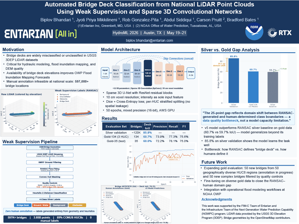
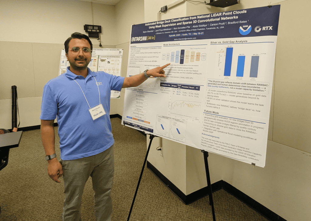
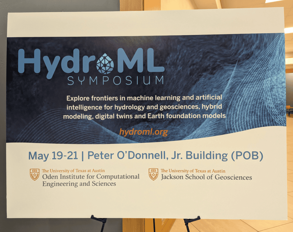
The 2026 HydroML Symposium, held in Austin, Texas from May 19-21, brought together researchers working at the intersection of AI/ML, hydrology, and Earth sciences, with a strong focus on approaches that are both scientifically grounded and operationally meaningful. I submitted an abstract on my recent NOAA work, “Automated Bridge Deck Classification from National LiDAR Point Clouds Using Weak Supervision and Sparse 3D Convolutional Networks” and was selected to present a poster. A clear message emerged throughout the week: the field is moving beyond isolated proofs of concept and toward scalable, physics-aware AI systems that support water-prediction decisions at continental scale.
Addressing a Critical Gap in Flood Modeling
The poster supported Entarian’s flood‑modeling contributions to NOAA’s Office of Water Prediction (OWP) under the Next Generation Water Prediction Capability (NGWPC) contract.
Bridges are critical hydraulic controls, yet at national scale they’re still represented crudely or captured by hand—a bottleneck that limits flood‑model skill. Our approach combines national LiDAR (3DEP), weak supervision, and sparse 3D neural networks to automatically extract bridge‑deck structures, cutting the manual workload and improving the quality of inputs for large‑scale inundation modeling.
The work offers a clean example of data‑driven hydraulic‑structure characterization, something the field has long lacked. Cross‑domain applicability also stood out: a PNNL researcher working on urban heat noted that our geometry‑extraction pipeline could be repurposed to derive building slopes, showing the method has reach beyond bridges.
Key Themes and State of the Field
Hybrid, differentiable physics-ML models are becoming standard
Across many talks, the field is converging on models that fuse physics-based approaches with machine learning to stay physically consistent while learning from data. Examples included Chaopeng Shen on physics‑embedded learning, Dapeng Feng on where physics integration matters, differentiable river routing coupled to LSTMs, and differentiable parameter learning for Noah‑MP. This aligns with national water‑prediction modernization efforts.
Earth foundation models and embeddings are becoming central
Large pretrained models—such as Google’s AlphaEarth satellite embeddings—are increasingly used as reusable inputs for hydrology tasks, including prediction in ungauged or data‑sparse basins. This reduces dependence on task‑specific labeled data.
LLMs and agentic AI are shifting from research to application
Presentations ranged from caution (“Can we trust LLMs for Earth‑system‑model analysis?”) to applied use cases like LLM‑based flood decision support, multi-agent experiment‑design frameworks, and a new benchmark for evaluating AI agents in model development. These developments are relevant to future operational products and engineering tooling.
Sparse data, uncertainty, and trust remain major barriers
The Day 2 keynote, “Learning from Sparse Data,” highlighted the persistent challenge of limited or inconsistent labeled data in geospatial AI. Many talks underscored the need for trustworthy, interpretable models when observations are thin—still a key blocker for operational adoption.
Continental‑scale prediction is now the frontier
Continental-scale streamflow and ungauged‑basin prediction drew significant interest, with examples including directed graph neural networks, distributed models across North America, and transformers for ungauged basins. Flood forecasting work was especially relevant: physics‑guided LSTMs, conditional diffusion models for high‑resolution inundation, continental‑scale forecasting with vision transformers, and ML surrogates trained on automated HEC‑RAS 2D runs. These areas align directly with our NGWPC work.
Why This Work Matters to Our Customers
The major themes from HydroML—hybrid modeling, continental‑scale prediction, ML-based inundation mapping, ungauged‑basin skill, and robust uncertainty quantification—map directly onto the modernization needs of the National Water Model. It was clear that our NGWPC work is already operating within the leading edge of the field, not chasing it.
In addition to highlighting new opportunities for collaboration within NOAA and national labs, the symposium underscored the value of this research across government agencies. Federal, state, and commercial stakeholders increasingly need tools that connect geospatial data, hydrologic context, and AI-derived asset characterization. As Jeff Arnold, Entarian’s EVP of Science and Technology, noted, the impact of this work extends well beyond our immediate projects:
“The methods and tools that Biplov was invited to present this year at HydroML are definite improvements for solving problems in surface water hydrology and hydraulics. Entarian was very pleased to present these improvements and to demonstrate where the ML tools Biplov developed for the NOAA Office of Water Prediction can have other applications in Earth science, including the example of extracting building surface characteristics for calculating urban heat, and possibly for better characterizing wildland fire fuel loads before fires ignite. We look forward to refining these methods in new applications as we continue partnering to bring our applied science and technology to our expanding mission sets.”
The symposium confirmed that Entarian’s innovations are in direct alignment with the future of flood modeling. Reflecting on the event, it was encouraging to see our work recognized amongst leading researchers. I’m looking forward to building on these advancements and continuing to deliver meaningful value for our customers.